Explore
Washington Corridor
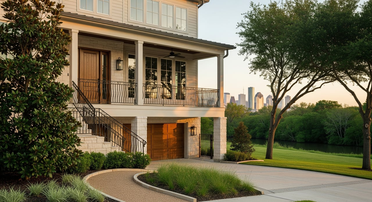
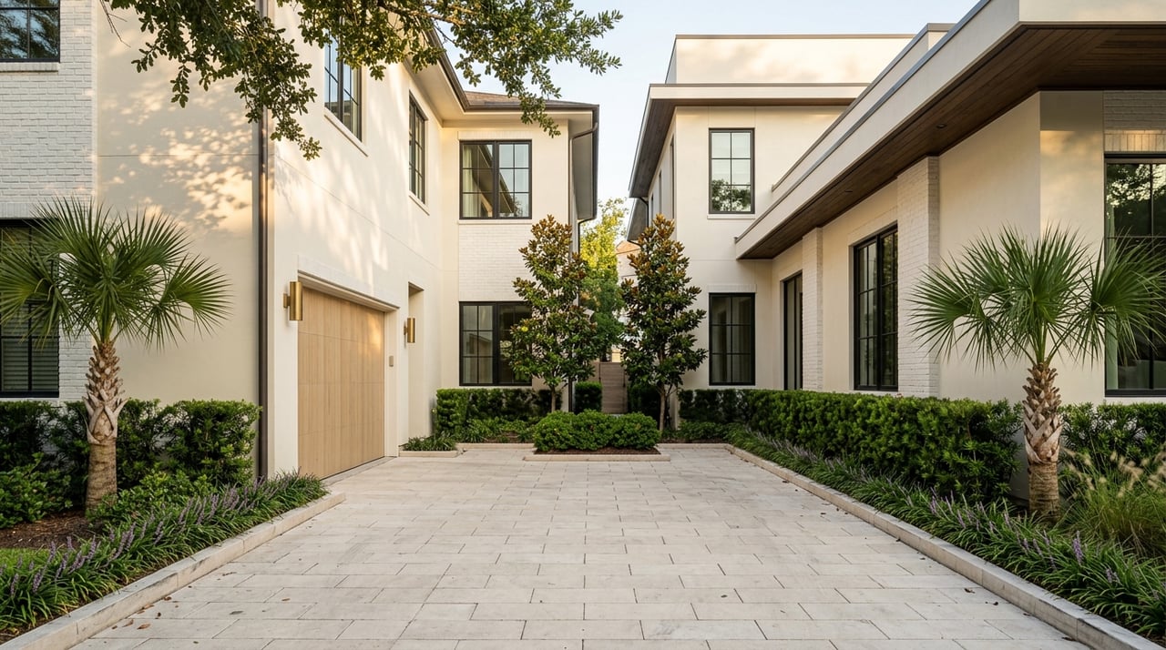
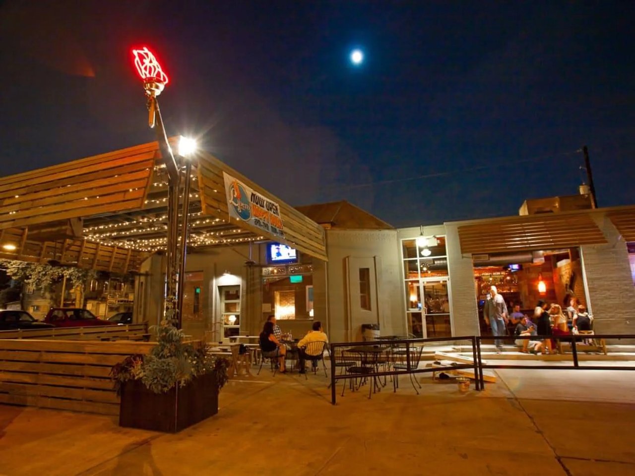
Washington Corridor is known for modern townhomes, nightlife, and proximity to Memorial Park.
Washington Avenue runs through a part of Houston that the City treats as one super neighborhood, Washington Avenue Coalition / Memorial Park. It covers 5,081 acres from the western edge of downtown to Loop 610, with Buffalo Bayou on its southern edge, and it holds more than ten civic-club neighborhoods, from the Old Sixth Ward and First Ward on the east end to Camp Logan and Crestwood on the west.
It has 25,382 housing units, and nearly 80% of them were built in 2000 or later. The median home value is $569,131, up from $516,335 in 2019.
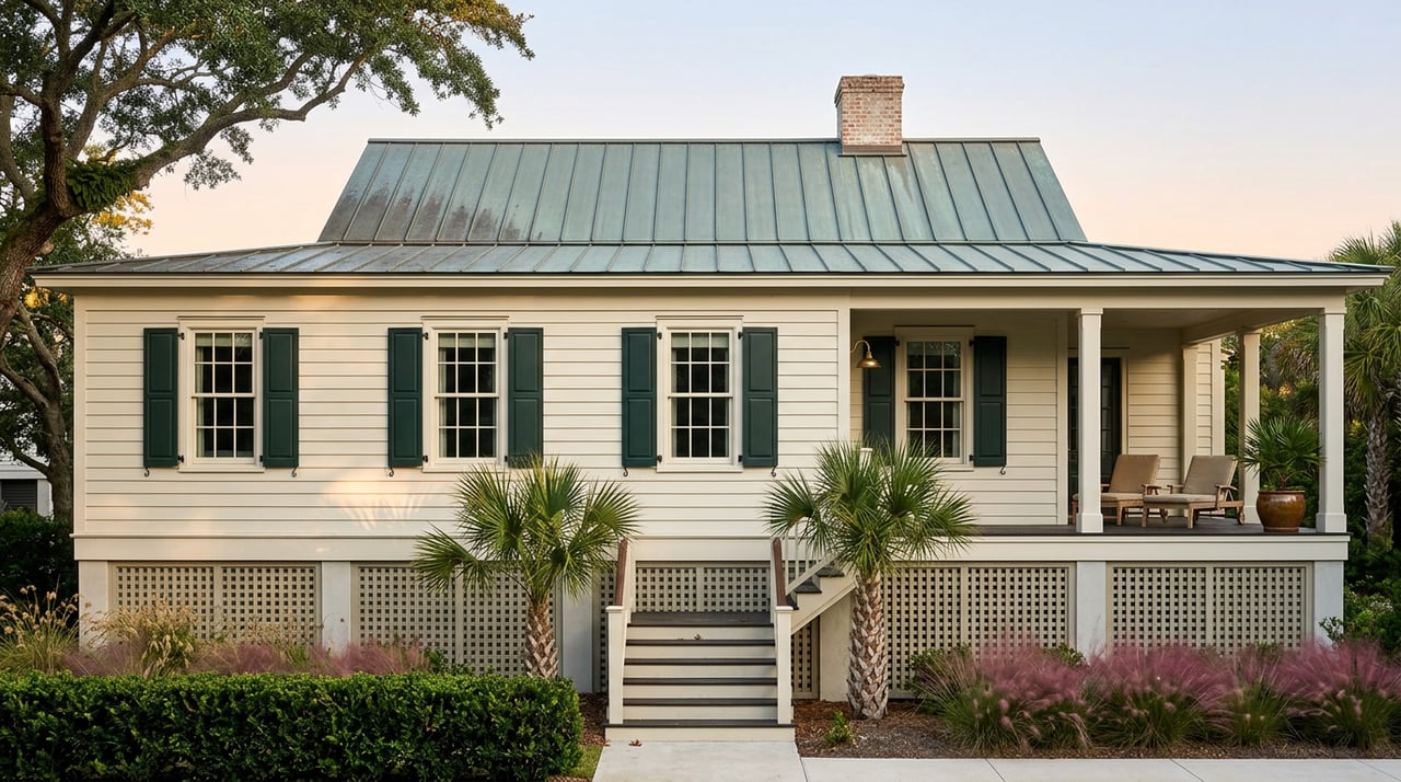
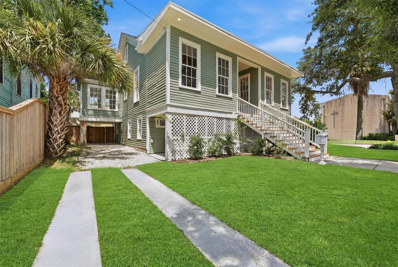
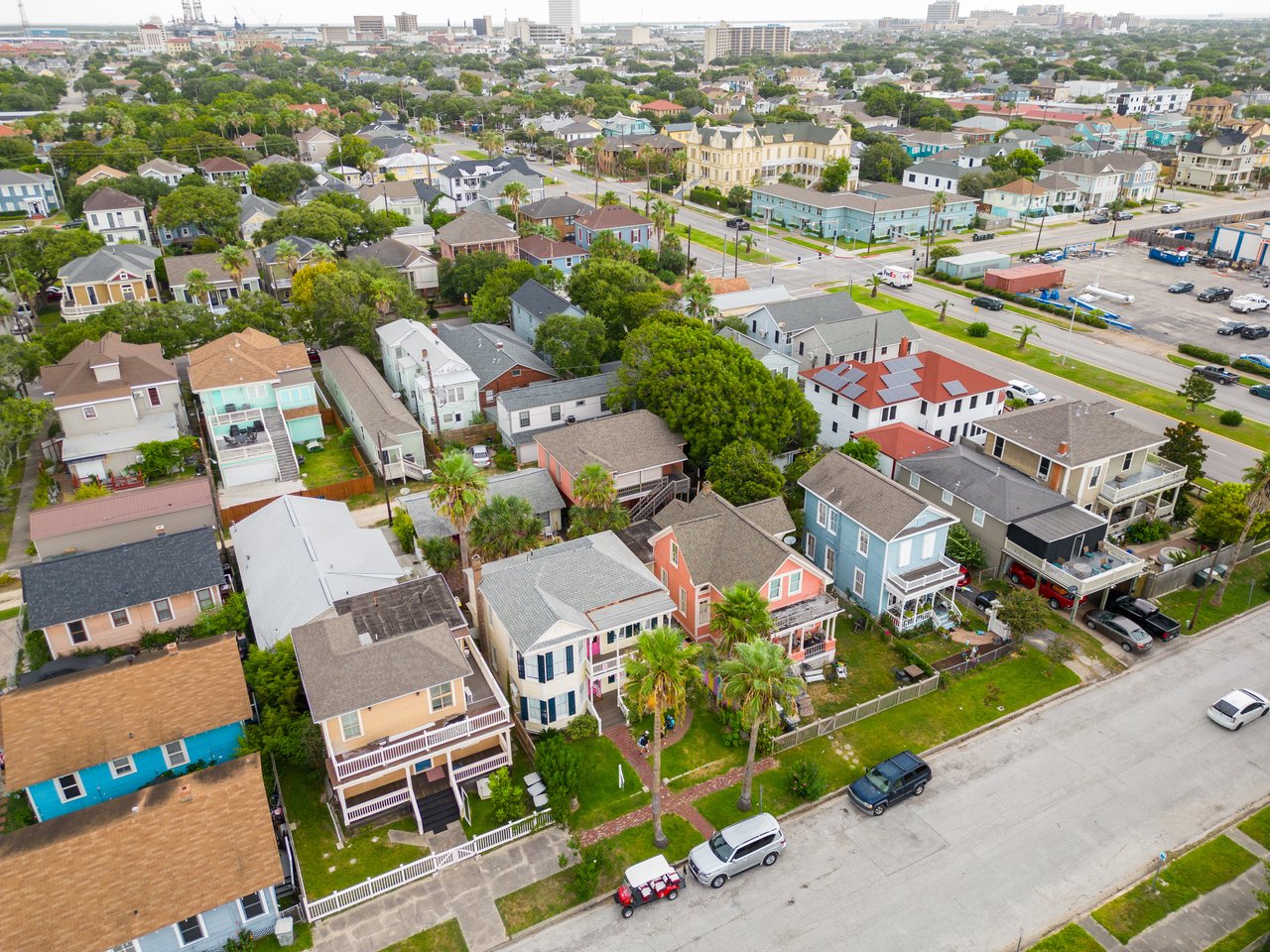
Designated a City Historic District in 1997 and a Protected Historic District in 2007. Between Union Street on the north, Sabine Street on the east, State Street on the south, and Sawyer Street on the west, it has the largest concentration of Victorian houses in Houston, along with early 20th-century bungalows, a historic school, corner stores, and some newer construction.
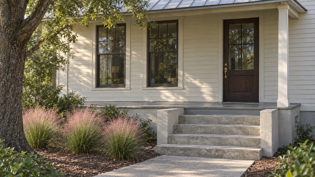
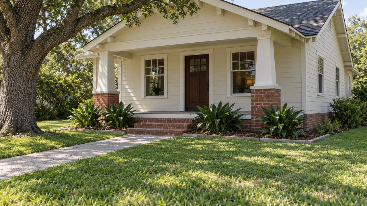
Designated a City Historic District on May 28, 2014. Most of its houses are vernacular Queen Anne cottages and Craftsman bungalows built between 1890 and 1930, centered on Crockett Street between Johnson and Henderson, west of Houston Avenue.
On the west edge, where the Army trained soldiers at Camp Logan during World War I. Memorial Park now covers most of that site.
Civic-club neighborhoods the City lists inside the super neighborhood, alongside Westwood Grove, Woodcrest and West End.
The area between Washington Avenue and Buffalo Bayou, from Shepherd Drive to Westcott Street.
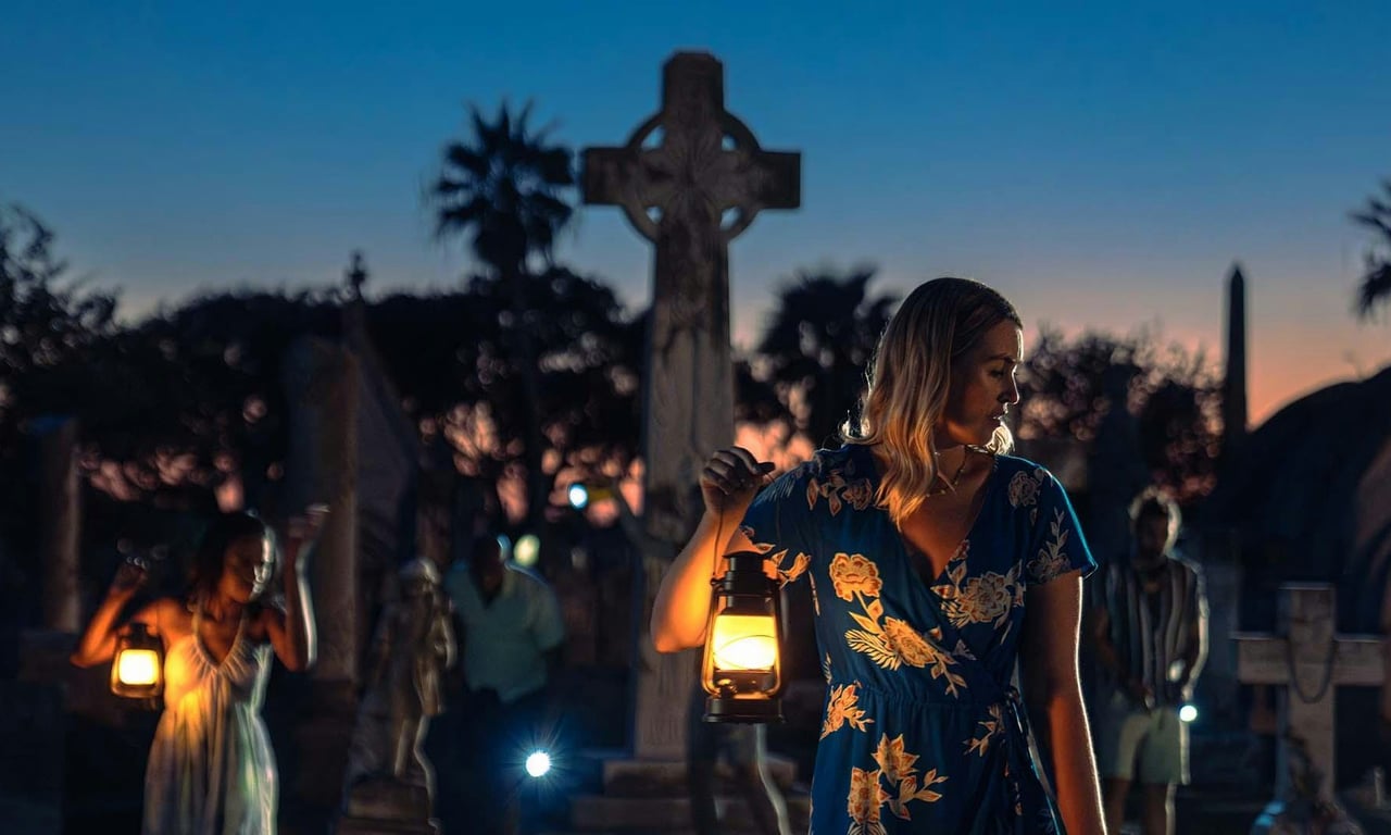
Founded in 1875, it is one of the oldest platted cemeteries in Houston and served the city’s early African-American community.
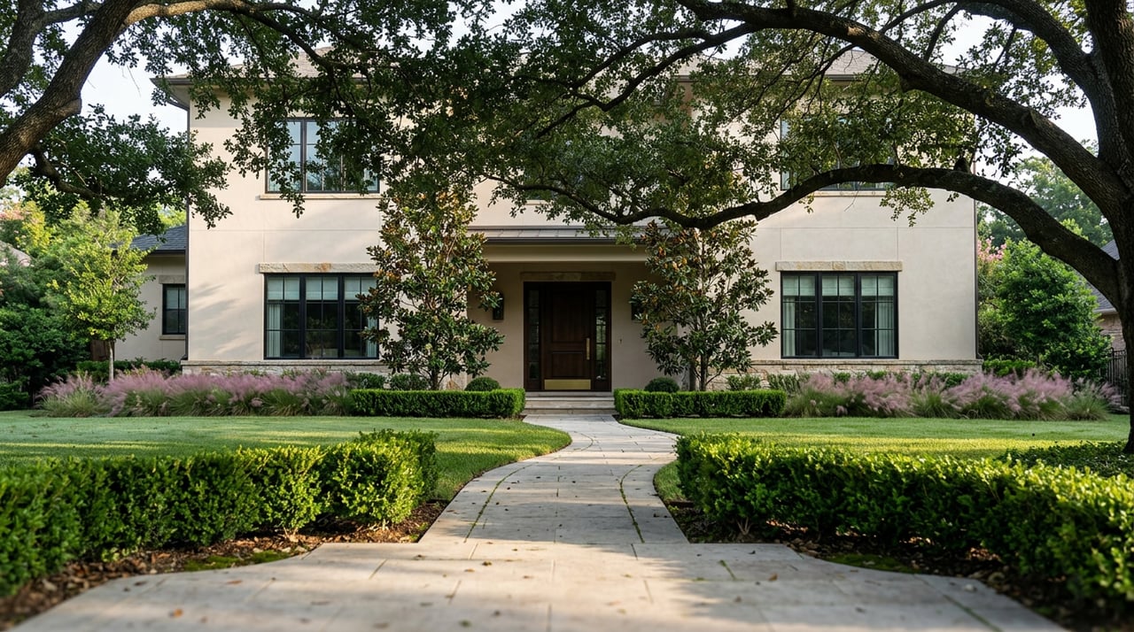
8,467 homes, about a third of the housing units. The Old Sixth Ward and High First Ward hold Victorian houses, cottages, and bungalows, and on the west side the residential areas have been redeveloping with high-end single-family homes.
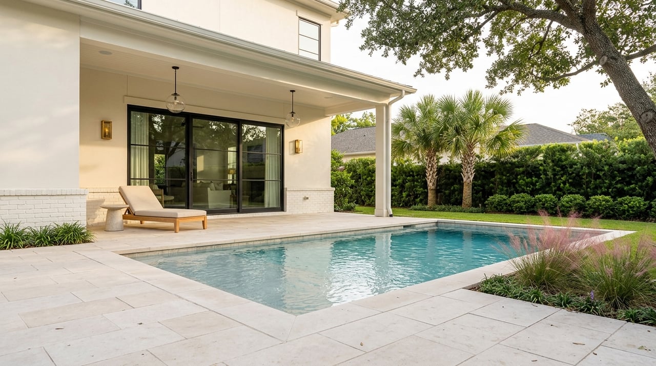
4,574 homes, about 18% of the units, in the category that includes townhomes.
11,085 units, about 44% of the housing, in a category that includes condominium and apartment buildings.
Most of the housing is recent. Only 1,062 units date to 1959 or earlier, while 8,455 were built from 2000 to 2009, 9,663 from 2010 to 2019, and 2,065 since 2020. Renters occupy 10,627 homes and owners occupy 9,800.
Source: City of Houston Census
A historic house, a townhome, or a unit in a larger building: send us your budget, timing, and must-haves. We will match you with listings and tell you what to know about the street before you tour.
The Old Sixth Ward is a Protected Historic District, so exterior changes visible from the street need a Certificate of Appropriateness from the City. That includes work such as roofing, siding, doors, windows, porches, and additions. Ordinary maintenance and repair does not need one. The Old Sixth Ward Design Guidelines apply to every application, and any deed restrictions apply as well.
A contributing structure in the district cannot be demolished unless the owner shows an unreasonable economic hardship or an unusual and compelling circumstance, and the Houston Archaeological and Historical Commission decides. Non-contributing structures can be demolished without a Certificate of Appropriateness.
Memorial Park covers about 1,500 acres, and the Memorial Park Conservancy operates 1,100 of them for the City. The park is at 7575 North Picnic Lane and includes the 3-mile Seymour Lieberman Exercise Trail. Eastern Glades, about 100 acres of picnic areas, wetlands, and trails, opened on July 31, 2020. The Land Bridge and Prairie opened in February 2023, a nearly 100-acre project with about 45 acres of prairie and a land bridge over Memorial Drive.
The Houston Arboretum and Nature Center, 4501 Woodway Drive, is free to enter. The City lists numerous parks inside the super neighborhood, among them Knox Park, Spotts Park, and West End Park.
The City’s super neighborhood runs from the western part of downtown on the east to Loop 610 on the west. Buffalo Bayou is the southern boundary, and the northern boundary follows Hempstead Road, the old MKT tracks, White Oak Bayou, and I-10.
Yes. Rice Military is one of the neighborhoods inside the Washington Avenue Coalition / Memorial Park super neighborhood.
Most owner-occupied homes are valued between $300,000 and $999,999: 3,925 at $300,000 to $499,999 and 5,451 at $500,000 to $999,999. Another 482 are valued at $1 million or more.
The Old Sixth Ward has been a Protected Historic District since 2007, while the High First Ward was designated in 2014. Both districts operate under official City of Houston Design Guidelines to regulate exterior alterations and preserve neighborhood character.
They exist but are a small share of the housing: 61 units are in two-unit buildings, 233 in buildings with three or four units, and 963 in buildings with five to nine units.
Nancy Almodovar and the Nan & Company team can talk through your home, timing, and priorities. Start with Preparing Your Houston Home for a Standout Sale.
11,682 people live in Washington Corridor, where the median age is 39 and the average individual income is $120,417. Data provided by the U.S. Census Bureau.
Total Population
Median Age
Population Density
Average individual Income
There's plenty to do around Washington Corridor, including shopping, dining, nightlife, parks, and more. Data provided by Walk Score and Yelp.
Explore popular things to do in the area, including Matamoros Meat Co, Sweets by Eri, and Bountiful Beginnings.
| Name | Category | Distance | Reviews |
Ratings by
Yelp
|
|---|---|---|---|---|
| Dining | 0.13 miles | 0 reviews | 0/5 stars | |
| Dining | 0.38 miles | 0 reviews | 0/5 stars | |
| Dining | 0.38 miles | 0 reviews | 0/5 stars | |
| Dining | 0.56 miles | 0 reviews | 0/5 stars | |
| Active | 0.38 miles | 0 reviews | 0/5 stars | |
| Active | 0.38 miles | 0 reviews | 0/5 stars | |
| Active | 0.53 miles | 0 reviews | 0/5 stars | |
| Active | 0.53 miles | 0 reviews | 0/5 stars | |
| Active | 0.53 miles | 0 reviews | 0/5 stars | |
| Beauty | 0.35 miles | 11 reviews | 5/5 stars | |
| Beauty | 0.38 miles | 0 reviews | 0/5 stars | |
| Beauty | 0.38 miles | 0 reviews | 0/5 stars | |
| Beauty | 0.38 miles | 0 reviews | 0/5 stars | |
| Beauty | 0.53 miles | 1 review | 5/5 stars | |
| Beauty | 0.57 miles | 0 reviews | 0/5 stars | |
|
|
||||
|
|
||||
|
|
||||
|
|
||||
|
|
||||
|
|
Washington Corridor has 6,731 households, with an average household size of 2. Data provided by the U.S. Census Bureau. Here’s what the people living in Washington Corridor do for work — and how long it takes them to get there. Data provided by the U.S. Census Bureau. 11,682 people call Washington Corridor home. The population density is 14,598 and the largest age group is Data provided by the U.S. Census Bureau.
Total Population
Population Density Population Density This is the number of people per square mile in a neighborhood.
Median Age
Men vs Women
Population by Age Group
0-9 Years
10-17 Years
18-24 Years
25-64 Years
65-74 Years
75+ Years
Education Level
Total Households
Average Household Size
Average individual Income
Households with Children
With Children:
Without Children:
Blue vs White Collar Workers
Blue Collar:
White Collar: